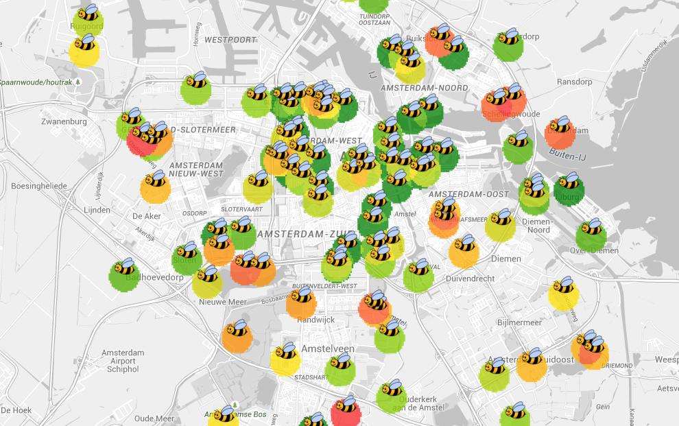
From bees to barbecues: Amsterdam maps show the city’s many faces
 Amsterdam city council is publishing a series of online maps giving fascinating information about the Dutch capital, from the location of waste containers to the habitat of the oak processionary caterpillar.
So far, some 90 maps have been published. Some give historic information like the location of listed buildings, while others show official aspects of living in the city like disabled parking bays and house values. One even shows where volunteer organisations are based, while another looks at the wild bee population.
The collection was started by Klaas-Bindert de Haan, a mapping specialist who has worked for the city for 15 years, the Guardian reports. He says the maps are not just used by interested citizens but also by colleagues looking at city planning and sustainability.
Thank you for donating to DutchNews.nl.
We could not provide the Dutch News service, and keep it free of charge, without the generous support of our readers. Your donations allow us to report on issues you tell us matter, and provide you with a summary of the most important Dutch news each day.
Make a donation