Snow to hit the Netherlands on Sunday, but it won’t last long

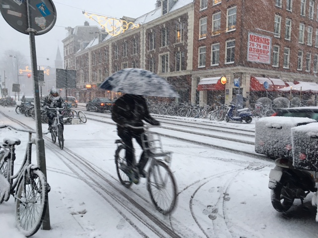
The Netherlands is set to experience its first snowfall of the year this weekend, with wintry showers possible in the north on Friday and Saturday, and snow spreading from the south overnight from Saturday into Sunday.
Icy conditions may temporarily affect roads and pavements across the country, but in the southern and central regions, the snow will quickly turn to rain, weather forecasters say.
Saturday is expected to remain mostly dry, with occasional wintry showers, particularly in northern regions, and intermittent sunny spells. Morning temperatures will hover around freezing, rising only slightly to a high of 2°C in the east and up to 4°C in the west—colder than the seasonal norm of 6°C for early January.
As Sunday approaches, a southeasterly wind will bring colder air, with overnight temperatures dropping to around freezing. Snowfall will begin in the south during the early hours and spread northward.
In southern areas, the snow is expected to transition to rain by morning, but the northeast will see snow persist into the early afternoon. By early afternoon, even the northeast will see snow replaced by rain as temperatures rise sharply, reaching 5°C in the north and up to 10°C in the south. Strong winds are likely along the coast.
The unusually mild conditions will persist into Monday, with further rain expected. Later in the week, temperatures are forecast to drop again, potentially bringing renewed wintry showers.
The KNMI’s long-range forecast suggests an 80% likelihood of chilly but predominantly dry weather well into January.
Thank you for donating to DutchNews.nl.
We could not provide the Dutch News service, and keep it free of charge, without the generous support of our readers. Your donations allow us to report on issues you tell us matter, and provide you with a summary of the most important Dutch news each day.
Make a donation