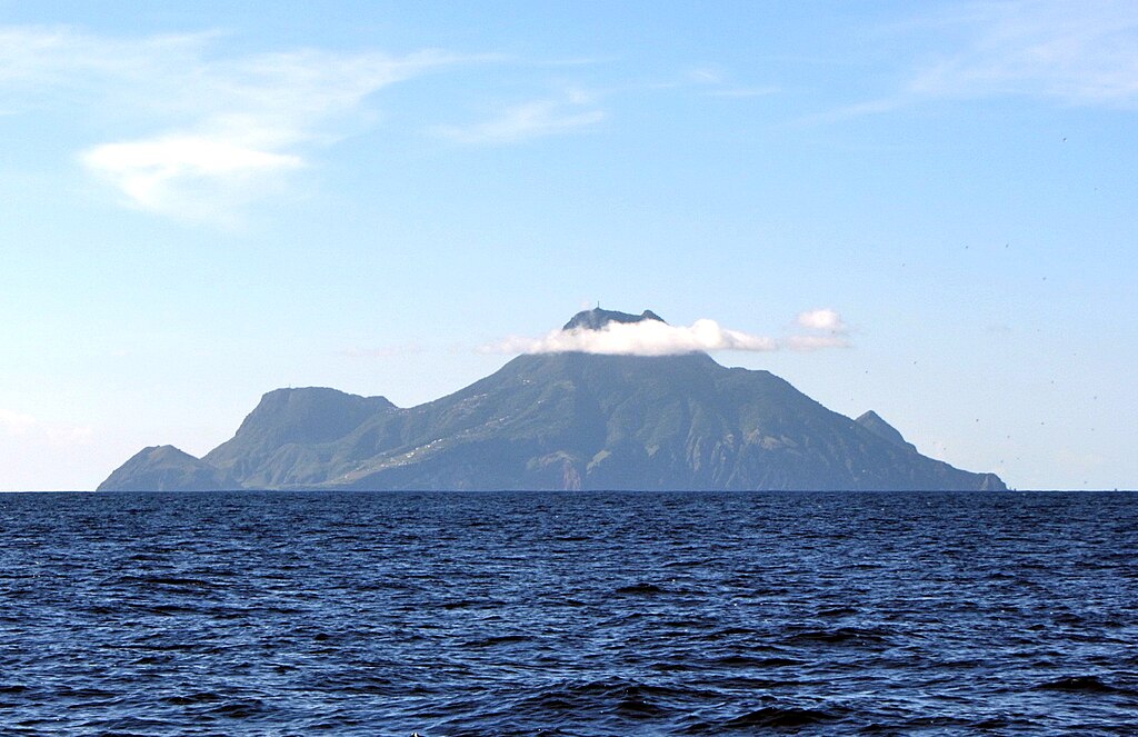
Highest Dutch mountain in the Caribbean has shrunk

Mount Scenery on the Caribbean island of Saba, the highest mountain on Dutch territory, is officially some 17 metres lower than had been thought.
The discovery was first made by surveyor Jochem Lesparre, who was on an expedition with the KNMI weather bureau to find locations for weather reference stations on the island.
“I was getting some reference points to link map data of the island and satellite measurements and thought I might as well measure the highest point,” Lesparre told broadcaster NOS.
Mount Scenery, a dormant volcano, is now officially 870 metres high, but it still 887 metres above sea level according to the island tourist board and 877 metres high according to the sign at the top.
The confusion, according to island news website BES Reporter, is due to outdated measurement methods. The exact height also depends on reference points such as sea level, which will be more precisely determined in the future, the website says.
There is a transmission tower on top of the mountain which may have contributed to the confusion, Lesparre said, although it is not usual to include masts in measurements.
Former colonies Bonaire, Saba and Sint-Eustatius are part of the kingdom of the Netherlands and have had the status of special municipalities since 2010.
The highest elevation in the Netherlands itself is Vaalserberg in Limburg, which is 322 metres high.
Thank you for donating to DutchNews.nl.
We could not provide the Dutch News service, and keep it free of charge, without the generous support of our readers. Your donations allow us to report on issues you tell us matter, and provide you with a summary of the most important Dutch news each day.
Make a donation